
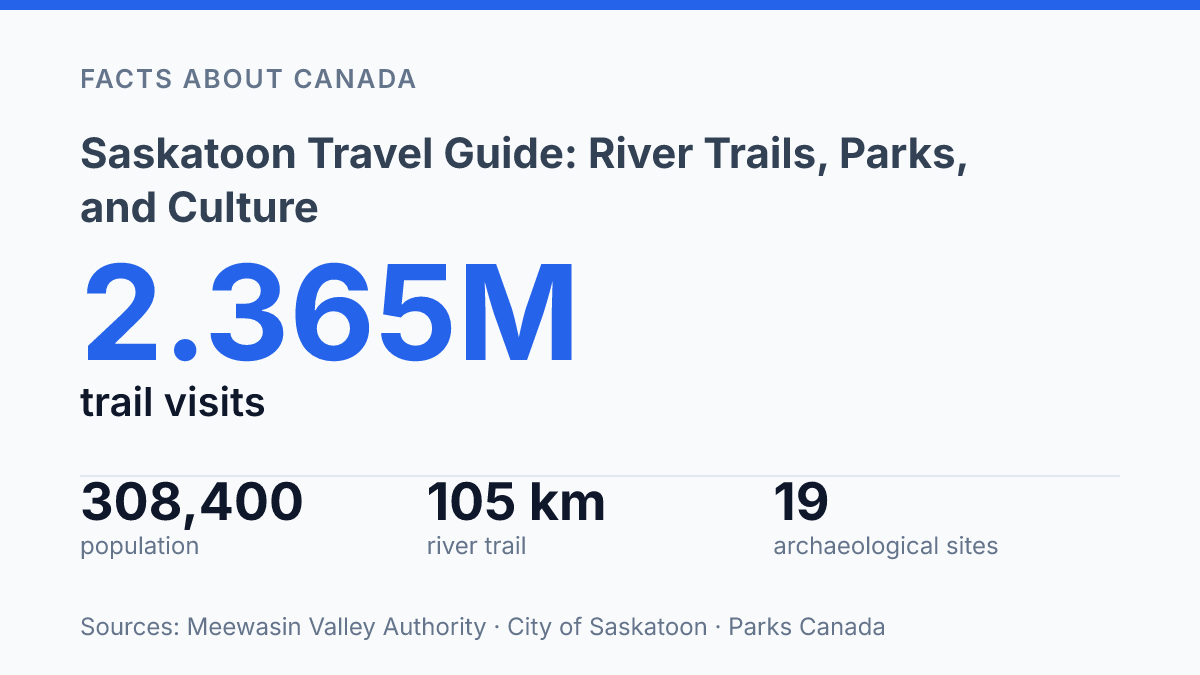
Saskatoon reached an estimated 308,400 residents by June 30, 2024, and the South Saskatchewan River corridor helps explain how a fast-growing prairie city organizes movement, parks, and public life. Ten bridges cross the river, supporting the city’s “City of Bridges” identity, but the stronger travel story sits at ground level: paths, conservation areas, heritage sites, gardens, and animal exhibits are arranged around the waterway rather than apart from it.
The Meewasin Valley alone covers 67 square kilometres and records up to 2.365 million trail visits per year, placing the river corridor among the city’s most active public spaces. This guide frames the city through that geography, from connected river trails and bridge views to Wanuskewin’s deep Indigenous heritage and the east-side attractions that draw families, walkers, and nature-focused visitors.
Where the city sits along the South Saskatchewan River
The easiest way to understand the city’s map is not by its street grid but by the bends and crossings of the South Saskatchewan River. Saskatoon straddles this river in Saskatchewan, Canada, with its central districts arranged around a broad river valley that gives the urban core much of its visual identity. The waterway is not a distant edge of the city; it runs through the middle of daily movement, sightseeing, and civic space.
This riverfront position helps explain why the central area feels closely tied to walking and cycling routes rather than separated from them. Streets leading toward the banks open onto viewpoints, bridge approaches, and access points that connect the downtown side of the city with the wider trail corridor. The result is a compact visitor geography: hotels, restaurants, cultural venues, river overlooks, and path connections can sit within a short distance of one another because the river valley acts as a shared spine rather than a fringe amenity.
Population growth has made that corridor more than scenic background. The city estimated 308,400 residents as of June 30, 2024, after record 4.9% growth in 2023 and an estimated 4.3% midpoint growth rate for 2024, according to the City of Saskatoon, 2024 Growth Monitoring Report. In that context, river access supports both recreation and urban mobility, especially where central neighbourhoods depend on connected public space to absorb more use.
The same feature that unifies the city also divides it into east and west areas. That division is practical rather than isolating, because bridges and riverside corridors keep many major attractions, accommodation areas, and cultural stops relatively close together. For travellers, the river is therefore both landmark and organizing tool: it clarifies orientation, creates memorable approaches into the core, and explains why crossing points matter as much as the riverbanks themselves.
What the Meewasin Trail connects along the river
Few urban routes compress archaeological interpretation, conservation land, and riverbank recreation into a single system measured at more than 108 km. The Meewasin Trail follows both sides of the river corridor, winding below crossings, through maintained parkland, and into less formal natural areas; according to the Meewasin Valley Authority, the wider Meewasin Valley covers 67 square kilometres and receives up to 2.365 million trail visits per year. Those figures explain why the route functions as more than a recreational path: it is the main connective tissue between many of the corridor’s public spaces.
Running north along the riverside, the trail leads toward Wanuskewin Heritage Park, one of the corridor’s most important cultural stops. Its position on the northern stretch gives that part of the route a strong interpretive character, where walking or cycling along the river can connect directly with exhibitions and programming centred on Indigenous culture and long-standing relationships with the land. The result is a route where movement through open space also becomes a way of reading cultural geography.
The southern stretch shifts the emphasis toward prairie ecology at Beaver Creek Conservation Area. Meewasin’s 2023–24 annual reporting recorded 23,668 visitors to Beaver Creek, which operates year-round from Wednesday to Sunday and protects prairie grasslands that support native wildlife. Compared with the northern route’s stronger cultural focus, this section is more closely associated with conservation, habitat, and the experience of grassland environments near the river.
Taken together, the northern and southern stretches show why the trail is the clearest way to understand the river corridor as a continuous public experience rather than a series of isolated sites. It links interpreted heritage, urban parkland, and semi-natural prairie settings in one accessible system, while allowing each section to retain a distinct purpose.
Why Wanuskewin matters for Indigenous heritage
Parks Canada identifies 19 archaeological sites in Opimihaw Valley, including evidence of bison jumps, tipi rings, and the most northerly recorded Medicine Wheel. That record gives Wanuskewin Heritage Park a depth unusual for a day stop: the protected valley preserves traces of gathering, habitation, hunting, and ceremony, with cultural continuity extending from 6,400 years ago to the present, according to Parks Canada.
Reached by following the Meewasin route north from the central river corridor, Wanuskewin changes the emphasis from recreation to interpretation. Its exhibitions explore Indigenous culture by connecting archaeological evidence with knowledge about Northern Plains peoples, land use, ceremony, and continuity. The displays are not the whole experience; they work as a framework for understanding why the site itself matters and why its setting cannot be treated as interchangeable with an ordinary urban park.
This distinction shapes how the heritage destination is best understood. Interpretive panels, indoor exhibitions, and guided learning can make regional Indigenous history more accessible, but their value depends on treating the place as a living heritage site rather than a static collection of objects.
Wanuskewin’s continuing pursuit of international recognition reinforces that status: its UNESCO roadmap says the nomination dossier was being compiled from 2021 to 2025, with possible World Heritage Committee inscription in 2028. The significance lies in the combination of archaeological depth, Indigenous cultural interpretation, and an active effort to protect and explain a place where history remains tied to the land itself.
Gardens and animal exhibits east of the river
The east-side Forestry Farm Park & Zoo drew 159,181 visits in 2023, an attendance figure that marks it as a major family stop without implying a large-scale zoo. The Saskatoon Forestry Farm Park & Zoo is located east of the river and combines animal exhibits with formal planted grounds, giving the site a broader purpose than a standard animal-viewing attraction. According to the City’s 2023 annual report and Community Services reporting, zoo guests rose 26.6% from 2022, while revenue reached $1,639,300, up 37.4% year over year.
Rather than functioning only as a zoo, the property also draws visitors for its manicured gardens and park setting. Those maintained flowerbeds, lawns, and ornamental spaces give the stop a slower, more outdoor-oriented rhythm, especially for groups that want room to walk, picnic, or pause between exhibits. The horticultural side matters because it extends the attraction beyond animal viewing and makes the site suitable for mixed-age visits where interests may differ.
Seasonal timing affects the experience more here than at an indoor attraction. Gardens are naturally strongest during the growing season, while animal visibility and children’s zoo programming can vary with weather, care routines, and scheduled activities. That variability does not weaken the site’s family appeal, but it does explain why the best visit often depends on current conditions rather than the name of the attraction alone.
Why the river corridor will carry more weight
The river corridor is likely to carry more civic and visitor pressure as the city grows, which makes its connected spaces more than scenic assets. Meewasin’s trail network, Wanuskewin’s planned path toward possible UNESCO recognition, and rising attendance at east-side attractions point to a city where travel routes and public planning increasingly overlap.
The practical result is that the most coherent way to understand the destination is not by treating parks, museums, trails, and animal exhibits as separate stops. They form a linked system shaped by water, movement, and memory, with the South Saskatchewan River acting as the fixed reference point.
Frequently Asked Questions
Q: What is Saskatoon best known for among visitors?
A: Saskatoon is known for its river setting, with the South Saskatchewan River running through the city and shaping many of its outdoor attractions. The Meewasin Trail connects major sites along the waterfront, making walking and cycling a central part of the visit.
Q: Which river trail sections are most popular in Saskatoon?
A: The Meewasin Trail is the main riverside route, and its northern and southern stretches lead to different experiences. The northern section links to Wanuskewin Heritage Park, while the southern stretch passes Beaver Creek Conservation Area, where prairie grasslands support native wildlife.
Q: Is Wanuskewin Heritage Park worth visiting from Saskatoon?
A: Wanuskewin Heritage Park is a notable stop north along the Meewasin Trail because it presents exhibitions focused on Indigenous culture. It adds a cultural dimension to a river-based itinerary and helps place the region’s history in context.
Q: What can be seen at Beaver Creek Conservation Area near Saskatoon?
A: Beaver Creek Conservation Area is part of the southern stretch of the Meewasin Trail and is known for its prairie grasslands. Native wildlife live there, which makes it one of the more nature-focused stops tied to the city’s trail system.
Q: What does Saskatoon Forestry Farm Park & Zoo offer?
A: East of the river, Saskatoon Forestry Farm Park & Zoo combines manicured gardens with a children’s zoo. The site is useful for visitors looking for a family-friendly outing that mixes landscaped grounds with animals.