
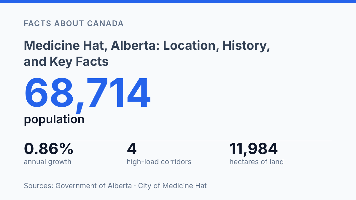
Medicine Hat is not a small prairie outpost: Alberta lists the city at 68,714 residents in 2025, the province’s 10th-highest municipal population. Its scale becomes clearer when geography is added to the numbers. The city covers 119.8 square kilometres in the South Saskatchewan River Valley, 169 kilometres east of Lethbridge and 295 kilometres southeast of Calgary, placing it closer to Saskatchewan than to Alberta’s largest urban centres.
That position helps explain why four high-load corridors pass through the city and why nearby communities such as Redcliff, Dunmore, Desert Blume, and Seven Persons matter to its regional role. The most useful picture is not only where the city appears on a map, but how its boundaries, neighbours, transport routes, and planning relationships define its place in southeast Alberta.
Where Medicine Hat sits in southeast Alberta
Medicine Hat is closer to Lethbridge than to Calgary, a useful clue to why the city is usually placed by southeast Alberta reference points rather than by one dominant nearby metro area. It lies approximately 169 kilometres east of Lethbridge and 295 kilometres southeast of Calgary, placing it well into the province’s southeastern quarter rather than on the Calgary–Edmonton axis that often frames Alberta geography.
The city sits along the South Saskatchewan River, a defining physical feature for locating it on a map. Its river-valley setting gives the urban area a clear geographic anchor within otherwise open prairie terrain, while its position west of the Saskatchewan border helps explain why it is commonly described in relation to both provincial distance markers and the wider southern Prairies.
Scale also matters when interpreting that location. In 2025, the city had a population of 68,714, ranking 10th highest in Alberta, with 0.86% year-over-year growth and 5.08% growth over five years, according to the Government of Alberta. That population size makes it a substantial urban centre for southeast Alberta, even though its map position is better understood through river geography, border proximity, and distances to larger cities than through attachment to a single metropolitan neighbour.
Municipal boundaries and nearby communities
Redcliff sits close enough to be grouped with the city in some regional references, yet it remains a separate town government to the northwest of the city proper. The City of Medicine Hat Municipal Inspection Report from 2025 identifies the adjacent Town of Redcliff and the city as both being within Cypress County, a description that helps explain the area’s shared regional frame without erasing municipal boundaries.
What the city’s setting means for regional context
4 provincial high-load corridors pass through the city, a detail that gives its southeast Alberta location a measurable transportation context rather than leaving it as a general regional label. According to the Government of Alberta Regional Dashboard (2026), these designated corridors cross the municipality, placing the city within travel patterns that link southern Alberta routes with movement toward the provincial boundary. That fact does not, by itself, prove wider economic influence, but it helps explain why the city functions as a clear geographic reference point in the southeast of the province.
The South Saskatchewan River remains the most defining physical feature in that regional context. The river valley gives the urban area a recognizable axis, so descriptions of the city’s setting tend to depend on the watercourse as much as on roads, municipal lines, or nearby settlements. In a provincial map context, the river helps make the location legible: it marks the city as part of a broader prairie river system rather than as an isolated point on the plains.
Proximity to the Alberta-Saskatchewan boundary adds another layer to the city’s position within southern Alberta. The setting places it on the Alberta side of east-west movement across the southern part of the province, where regional routes matter for orientation between communities and toward interprovincial travel.
A location outline can suggest this practical relevance, but the evidence supports a geographic reading more than claims about influence, growth, or industry. The safest interpretation is that the city’s river setting, southeast position, and route connections make it an important place to understand on Alberta’s map without needing unsupported conclusions beyond geography.
Why the tri-area frame matters next
The clearest implication is that Medicine Hat’s location cannot be understood as a single municipal footprint. Its practical geography extends into Redcliff and Cypress County through commuting, services, road access, and shared planning decisions. The 2024 update to the Tri-Area Intermunicipal Development Plan shows that local governments are treating growth, land use, and infrastructure as connected questions rather than separate files.
That matters because a city with 68,714 residents, four high-load corridors, and a wider census agglomeration of 76,376 people sits at a regional scale where boundary lines affect real decisions. Future changes in housing, industrial land, and transportation will likely be shaped as much by coordination between neighbours as by the city’s own land base.
Frequently Asked Questions
Q: Where is Medicine Hat located in Alberta?
A: Medicine Hat is in southeast Alberta, Canada, along the South Saskatchewan River. It sits west of the Saskatchewan border, placing it near the province’s eastern edge.
Q: How far is Medicine Hat from Calgary?
A: Medicine Hat is about 295 km southeast of Calgary. The distance makes it one of the major southeastern centres in the province rather than a close commuter location.
Q: How far is Medicine Hat from Lethbridge?
A: Medicine Hat is approximately 169 kilometres east of Lethbridge. This positions it farther east along southern Alberta’s travel corridor.
Q: Is Redcliff part of Medicine Hat?
A: No. The adjacent Town of Redcliff is separate from Medicine Hat, although both are within Cypress County. Redcliff lies to the northwest of the city.
Q: What county is Medicine Hat in?
A: Medicine Hat is within Cypress County. The city and the nearby Town of Redcliff are both part of that county, which helps define the area’s local jurisdiction.