
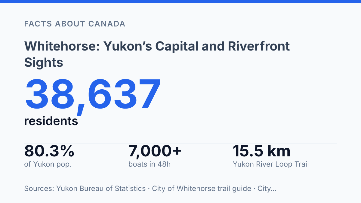
Whitehorse anchors the Yukon in unusually concentrated fashion: its area had 38,637 residents on December 31, 2025, about 80.3% of the territory’s population. That dominance helps explain why the capital moved from Dawson in 1953, but population alone does not account for the city’s character. Its position on the Yukon River tied it to dangerous rapids, rail construction, sternwheeler transport, and the Klondike rush that sent more than 7,000 boats downriver within 48 hours after Lake Bennett ice broke in May 1898.
The same river corridor now links some of the city’s clearest points of interest, from Miles Canyon to a 366-metre wooden fish ladder and the preserved S.S. Klondike. The wider setting adds another layer, with mineral hot pools north of town and winter skies that make aurora viewing part of the travel calendar.
Why Whitehorse became the Yukon’s capital
The territorial capital shifted from Dawson to Whitehorse in 1953 after the river town had overtaken the former gold-rush capital as Yukon’s main population and economic centre. As the capital of northwest Canada’s Yukon territory, the city’s administrative role is clear, but that status followed a longer pattern of settlement shaped by movement along the Yukon River. The river offered a practical corridor for people, freight, and services in a territory where distance and terrain made transport central to urban growth.
The concentration remains pronounced: the Whitehorse area had 38,637 residents on December 31, 2025, compared with 48,135 for all of Yukon, or about 80.3% of the territory’s population, according to the Yukon Bureau of Statistics. That figure helps explain why territorial government, commercial services, and transport connections cluster there rather than being evenly spread across the region.
Gold-rush traffic gave the settlement much of its early momentum. During the Klondike Gold Rush era, the route toward the northern goldfields depended on river travel and transfer points, and the future capital grew as supplies, workers, and transport businesses moved through the corridor. Its later selection as capital therefore reflected administrative logic, but its rise was rooted less in a single modern industry than in geography: a river position that made the town useful before it became politically central.
Miles Canyon and the gold rush story
Within days of the 1898 spring river rush, at least 150 boats were wrecked in the rapids below Miles Canyon and 10 people drowned, a reminder that the canyon was once an obstacle rather than a lookout. At Miles Canyon, basalt cliffs south of Whitehorse squeeze the Yukon River into a narrower, faster channel, turning this part of the valley into a route that was useful and dangerous at the same time. The present-day scenery is inseparable from that earlier problem of movement: the same river that carried people north also forced them to negotiate difficult water, portages, and delays.
The pressure on the route increased sharply after Lake Bennett ice went out on May 29, 1898. According to the City of Whitehorse trail guide, more than 7,000 boats were floating downriver within 48 hours, sending a concentrated wave of gold seekers toward the canyon and the rapids beyond it. The losses that followed led police to restrict passage to experienced pilots, which shows how quickly geography translated into regulation and local expertise.
Those constraints helped create the former gold rush townsite of Canyon City, associated with the canyon and the overland movement around its most hazardous water. The site functioned less as a conventional town than as a practical transfer point, where people, supplies, and transport services clustered near the problem the river had created.
In July 1899, the White Pass & Yukon Railway bought the competing tramways around Miles Canyon and the rapids for $185,000, according to the same city trail guide, a sign that temporary gold-rush workarounds had become valuable infrastructure. The canyon’s historical importance therefore lies not only in its volcanic walls, but in the way those walls narrowed travel choices and shaped where settlement activity took hold.
Yukon River Loop Trail, fishway, and the S.S. Klondike
A single riverside route links a canyon trailhead, a working fish ladder, and a preserved sternwheeler within about 15.5 kilometres. The Yukon River Loop Trail runs north from Miles Canyon and, according to the City of Whitehorse Yukon River Loop Trail brochure, includes access points at the Fish Ladder and S.S. Klondike / Rotary Peace Park. That alignment makes the riverfront more than a walking or cycling corridor: it follows the same waterway that shaped transport while also passing infrastructure built to reduce the ecological cost of river barriers.
The Whitehorse Fishway fish ladder is the clearest example of that conservation role. Yukon Energy describes the structure as 366 metres long and rising more than 15 metres, making it the world’s longest wooden fish ladder. Its practical purpose is direct: it helps migrating fish move past obstacles in the river system rather than being stopped by altered flow, elevation change, or built infrastructure.
The Yukon Fish & Game Association reported that, as of September 6, 2025, 800 Chinook salmon had passed through the ladder, nearly double the count recorded at the same point in 2024. That figure does not by itself define long-term salmon health, but it shows why the fishway is monitored as both a visitor site and a piece of active habitat support.
North along the same corridor, the S.S. Klondike represents a different kind of river adaptation. The restored sternwheeler once travelled the Yukon River, carrying the memory of an era when shallow-draft vessels connected communities and freight routes where roads were limited or seasonal. Its preservation gives physical form to transport history that would otherwise be reduced to maps and archival photographs.
The contrast along the loop is instructive rather than accidental. The river that enabled travel also imposed constraints, from difficult navigation to blocked fish movement, and the modern route places those stories beside each other. Heritage preservation at the sternwheeler and habitat assistance at the fishway show two responses to the same geography: one protects evidence of human movement, while the other supports the movement of fish through a changed river corridor.
Takhini Hot Pools and winter aurora views
At Takhini Hot Pools north of Whitehorse, naturally heated water emerges at 45.6°C / 117°F, creating one of the area’s clearest winter contrasts: cold northern air above, mineral spring water below. Eclipse Nordic Hot Springs, the site’s current operator, says the bathing pools are typically kept at 37–41°C / 98–106°F, a range warm enough for outdoor soaking even when winter temperatures make most open-air activities brief and heavily layered.
The appeal comes partly from the setting as much as the water. Outdoor pools allow bathers to remain in mineral-rich spring water while exposed to the sky, snow, forested surroundings, and long winter darkness. That combination helps explain why the springs are often paired with cold-season visits rather than treated only as a summer stop; the same conditions that make the air severe can make the warm-water setting feel more distinctive.
Northern lights viewing is the other major winter association, but it is a possibility rather than a promise. Travel Yukon identifies aurora season as mid-August to mid-April, with the strongest viewing window typically between 10 p.m. and 3 a.m. Clear, dark skies are essential, and displays also depend on solar activity, so cloud cover or weak geomagnetic conditions can limit visibility on any given night.
This makes the hot pools a practical companion to aurora watching rather than a guarantee of it. The springs provide a fixed, sheltered reason to be outdoors during the hours when the sky may become active, while the northern lights remain governed by atmospheric and space-weather conditions beyond the control of any itinerary.
Why the river still sets the terms of a visit
The capital is easiest to understand as a working river city rather than a remote outpost with scenery attached. Its visitor routes follow infrastructure first built to solve practical problems: moving people, freight, fish, and energy through a difficult northern corridor. That makes timing matter.
A summer walk may connect salmon counts, canyon trails, and sternwheeler history, while a winter trip shifts attention toward hot pools and the 10 p.m. to 3 a.m. aurora window cited by Travel Yukon. The same places change meaning by season, which is why the most revealing itinerary is not only geographic. It is seasonal, historical, and tied closely to the river’s continuing role.
Frequently Asked Questions
Q: What is Whitehorse known for?
A: Whitehorse is known as the capital of Yukon and for its riverfront scenery along the Yukon River. Its setting also includes nearby historic and natural sites such as Miles Canyon and the S.S. Klondike. These features make the city a common starting point for exploring Yukon’s heritage and landscape.
Q: Where is Miles Canyon in relation to Whitehorse?
A: Miles Canyon lies to the south of Whitehorse. It is marked by basalt cliffs and is the site of a former gold rush town. The canyon is also linked to riverfront walking routes that connect with other local sights.
Q: What is the Yukon River Loop Trail?
A: The Yukon River Loop Trail is a route that follows the Yukon River north from Miles Canyon. It passes the Whitehorse Fishway fish ladder and continues toward the S.S. Klondike. The trail connects several of the city’s main riverfront attractions in one corridor.
Q: What is the S.S. Klondike in Whitehorse?
A: The S.S. Klondike is a restored sternwheeler in Whitehorse. It once operated on the Yukon River, which makes it an important reminder of the region’s river transport history. The ship is now part of the city’s heritage sights.
Q: Can northern lights be seen near Whitehorse?
A: Yes, winter conditions around the Takhini Hot Pools north of Whitehorse can offer views of the northern lights. The mineral springs are a separate attraction, but their location improves the chances of combining a soak with aurora viewing. Visibility still depends on weather, darkness, and solar activity.