
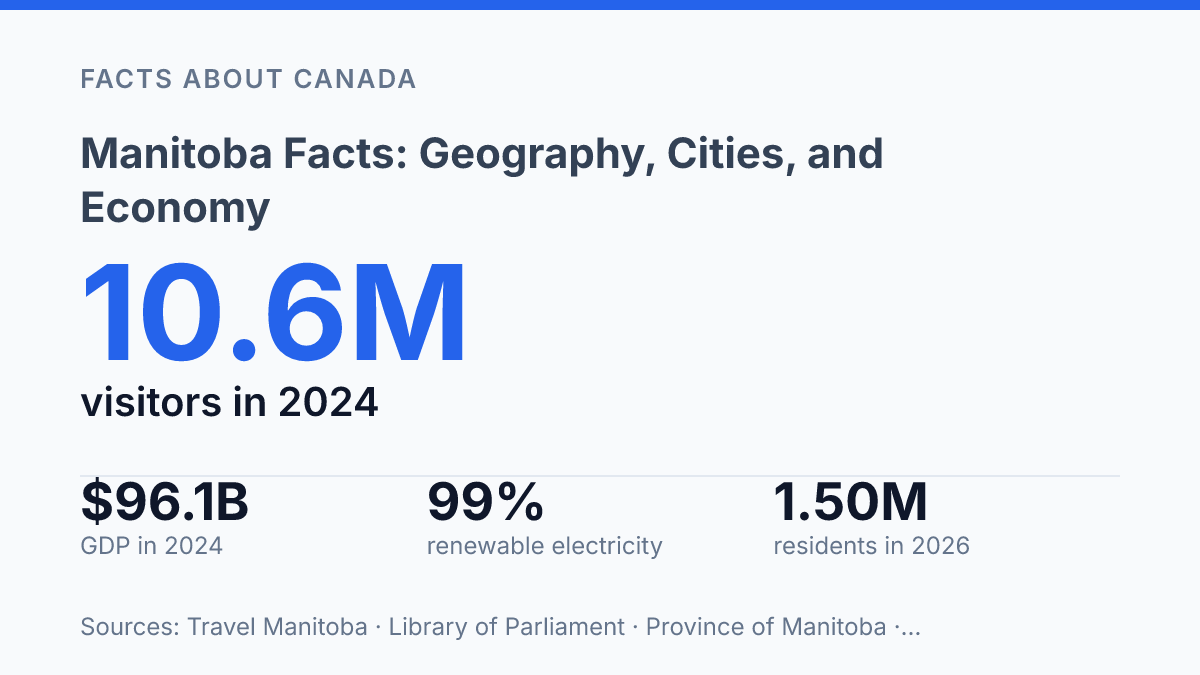
Manitoba covers 649,947 square kilometres, runs about 1,400 kilometres from the 49th to the 60th parallel, and includes 101,591 square kilometres of water. That scale helps explain why the province cannot be understood only through Winnipeg, even though the capital anchors much of its population and economic activity. The province had an estimated 1,503,865 residents on April 1, 2026, with a median age of 37.6 years and a substantial Indigenous population recorded in the 2021 Census.
Its economy also resists a single-label description: services account for most GDP, while agriculture, food processing, trade, hydroelectricity, critical minerals, and tourism remain central to how the province functions. These facts create a more precise picture of place, population, and economic role than a simple prairie-province label can provide.
Where Manitoba sits in Canada
Manitoba is central enough to sit on major east-west and north-south routes, yet long enough north to south that distance and water still shape how places connect. According to Province of Manitoba, 2026, Manitoba Quick Facts, the province covers 649,947 square kilometres, including 101,591 square kilometres of water, and runs roughly 1,400 kilometres from the 49th to the 60th parallel. That scale helps explain why southern corridors carry much of the province’s movement while large northern areas remain harder to reach by road and rail.
The province sits at a major physical transition between the Canadian Prairies and the Canadian Shield. To the west it borders Saskatchewan, to the east Ontario, and to the south the U.S. states of North Dakota and Minnesota. This position gives the province a central role in overland movement across Canada, while its southern border also creates direct links into the north-central United States.
Water is one of the defining features of the provincial map. Lake Winnipeg dominates the south-central interior as one of the largest freshwater lakes in North America, while the Red River and Assiniboine River form a key river junction at Winnipeg, the capital and largest city. The location of that junction helps explain why the city became the province’s main urban and transport centre, connecting prairie routes, river valleys, and national rail and road systems.
Geography also creates a contrast between accessibility and remoteness. The south is more closely tied to prairie settlement patterns and cross-border routes, while the north is marked by extensive lakes, forests, wetlands, and Shield terrain. These features support water resources and distinctive northern environments, but they also make infrastructure more difficult to extend evenly across the province.
What the population looks like
Nearly two-thirds of residents live in the Winnipeg census metropolitan area, giving the province a strongly urban population pattern despite its many rural and northern communities. According to Statistics Canada’s 2021 Census, the province had 1,342,153 residents, making it a mid-sized province by Canadian standards rather than a sparsely settled territory with only a few population centres.
The Winnipeg census metropolitan area accounted for 834,678 people in 2021, or about 62% of the provincial total. That concentration means health care, higher education, transportation, immigration settlement, and many private-sector services are heavily centred in and around the metropolitan region. Outside that area, population is distributed among smaller cities, towns, First Nations communities, agricultural municipalities, and remote northern settlements, producing a much more dispersed service geography.
Northern population patterns differ sharply from those around Winnipeg because communities are generally smaller and spread across a much larger area. Low population density does not mean low significance; it means that roads, air links, schools, clinics, housing, emergency response, and broadband planning often have to serve fewer people across greater operating areas. This is one reason provincial planning can look different in the north than in southern urban and agricultural regions.
Indigenous peoples form a major part of the province’s demographic profile. The 2021 Census counted 237,190 people who identified as Indigenous, representing 18.1% of the population; Statistics Canada reported that 56.9% of this group identified as First Nations and 40.8% as Métis, with Inuit residents making up a smaller share. These figures matter for understanding settlement patterns because Indigenous communities are present in urban neighbourhoods, Métis settlements and networks, and First Nations communities across both southern and northern regions.
Main industries and economic base
A service-heavy economy can still be resource-shaped: in 2024, the province generated 74.3% of GDP from services, yet many of its highest-profile exports came from farms, factories, mines, and power infrastructure. According to the Library of Parliament, provincial GDP was $96.1 billion that year, with goods-producing sectors accounting for 25.7%. That split helps explain why Winnipeg’s service economy, including finance, logistics, public services, education, and health activity, differs from the more resource-based north without being separate from it.
Agriculture remains a foundation for trade and manufacturing rather than only a primary industry. Wheat and meslin were among the leading export categories, and the provincial agriculture department reported $4.53 billion in processed food and beverage exports, led in part by pork and canola oil. Food processing turns farm output into a manufacturing base, so rural production, processing plants, transportation links, and export markets function as one connected economic system.
Mining gives the northern economy a different profile, especially because the province contains 30 of the 34 minerals on Canada’s 2024 Critical Minerals List, according to provincial strategic-advantages data. This creates long-term opportunity in minerals tied to batteries, electronics, and industrial supply chains, but extraction remains exposed to commodity-price cycles and the condition of transport routes serving remote operations.
Hydroelectricity is the clearest structural advantage. Manitoba Hydro relies on Lake Winnipeg regulation and large northern hydro projects, particularly in the north, to supply power, and provincial data state that 99% of electricity is generated from renewable hydroelectric sources. Low-emission electricity supports local industry and export revenues, but the same geography that makes large-scale hydro possible also raises planning demands around transmission, maintenance, and access.
Transportation ties these sectors together. International merchandise exports and imports equalled 44.8% of GDP, according to the Library of Parliament, showing that the economy depends heavily on moving goods efficiently. Winnipeg’s distribution and service role therefore complements, rather than replaces, the agricultural south and resource-oriented north.
Why the province stands out
The province is remembered as prairie country, yet its public identity is shaped just as strongly by northern travel routes, waterways, remote resource regions, and a major city that connects it to national networks. Prairie agriculture gives the south one of Canada’s most recognizable regional images, but northern geography adds a different sense of scale through boreal terrain, winter access routes, and communities linked to mining, energy, and tourism. This contrast is why the province is better understood as a meeting point between prairie Canada and the North rather than as a purely agricultural place.
Winnipeg gives that mixed identity a national platform. Its rail, highway, and air links make it a major inland transport centre, with logistics facilities such as CentrePort Canada reinforcing the city’s role in moving goods between western, central, and northern markets. The city also carries cultural weight beyond the province through institutions and events, including the Canadian Museum for Human Rights and long-running arts and community festivals that draw national attention.
The Forks in Winnipeg is a useful civic marker because it condenses several provincial themes into one public place. As a market, park, and gathering district, it links older meeting and trade traditions with present-day urban life without reducing the province to either frontier history or modern logistics. It also shows how waterways, public space, tourism, and city-building remain connected in the provincial imagination.
Tourism data point to the same blend of prairie, northern, and urban appeal. In 2024, the province welcomed 10.6 million visitors, generating a record $1.89 billion in visitor spending, according to the provincial tourism agency. That spending reflects more than one attraction type: city culture, prairie festivals, northern wildlife experiences, parks, and water-based recreation all contribute to a broader identity that is more varied than the prairie label alone suggests.
Where the province’s advantages point next
The province’s future position is likely to be shaped less by any single advantage than by how several strengths interact. Renewable hydroelectric power matters more when industries need lower-emission energy, and the presence of 30 of Canada’s 34 listed critical minerals gives resource development a national policy dimension. A younger median age than many jurisdictions, a large Indigenous population, and record 2024 visitor spending of $1.89 billion also point to social and economic pressures that cannot be separated from growth planning.
The practical consequence is clear: the province’s geography is not just background detail. It affects infrastructure costs, export routes, energy choices, tourism access, and the way economic opportunity is distributed across a very large map.
Frequently Asked Questions
Q: What is Manitoba known for geographically?
A: Manitoba is known for its mix of prairie, boreal forest, and thousands of lakes, along with a northern coastline on Hudson Bay. This geography creates a sharp contrast between the more populated south and the sparsely settled north.
Q: What is the largest city in Manitoba?
A: Winnipeg is Manitoba’s largest city and its main economic and cultural centre. It is also the provincial capital, which concentrates government, finance, transportation, and service jobs in one urban area.
Q: Which industries drive Manitoba’s economy?
A: Manitoba’s economy is supported by manufacturing, agriculture, transportation, mining, and public services. Agriculture remains especially important in rural areas, while Winnipeg plays a larger role in trade, logistics, and administration.
Q: Why is Manitoba’s location important for trade?
A: Manitoba sits near the centre of Canada and connects western provinces to eastern markets through major road, rail, and air links. That location helps support freight movement and makes Winnipeg a key distribution point for central North America.
Q: How does Manitoba’s climate affect daily life and business?
A: Manitoba has long, cold winters and short, warm summers, which shapes housing, transportation, and seasonal work. The climate also affects agriculture by limiting the growing season and making weather risk an important factor in farm planning.